| 8.4. Zoom | ||
|---|---|---|
 | Chapter 8. Tools |  |
| 8.4. Zoom | ||
|---|---|---|
| | Chapter 8. Tools | |
It is possible to zoom in/out a map, either on clicking the "View - Zoom" menu items, by using the cursor on the left side of the map or by moving the mouse scroller over the map.
![[Note]](../images/note.gif) | |
Please note:
|
Figure 8.4. Spatial zoom slider
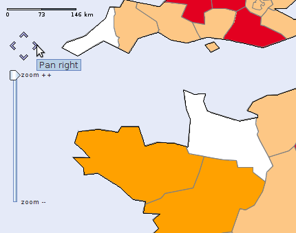
This screenshot shows the scale, the pan buttons and the zoom slider.
| |  | |
| 8.3. Legends, options and explanation tabs |  | 8.5. Report |